mapoutline
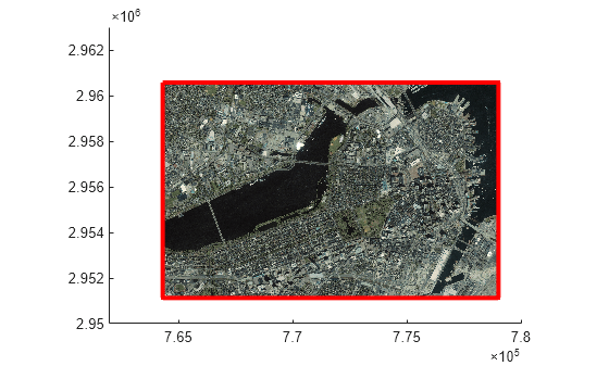
Outline of georeferenced image or data grid
Syntax
Description
mat = mapoutline(___)mat = [x
y].
Examples
Input Arguments
Output Arguments
Alternative Functionality
Create an area of interest (AOI) from a MapCellsReference or
MapPostingsReference object by using the aoiquad function. An
AOI is a mappolyshape or
geopolyshape object
that defines a focus area for geospatial analysis and visualization. For more information
about AOIs, see Define Areas of Interest.
