campos
Syntax
Description
Geographic Coordinates
campos( displays the latitude,
longitude, and ellipsoidal height of the camera as a three-element vector. The function
displays geographic coordinates when the when the viewer)CoordinateSystem
property of the Site Viewer is "geographic".
Cartesian Coordinates
campos( displays the
xyz-coordinates of the camera as a three-element vector. The function
displays Cartesian coordinates when the viewer)CoordinateSystem property of
the Site Viewer is "cartesian".
Examples
Create a Site Viewer. By default, Site Viewer displays a 3-D globe using satellite imagery.
viewer = siteviewer;
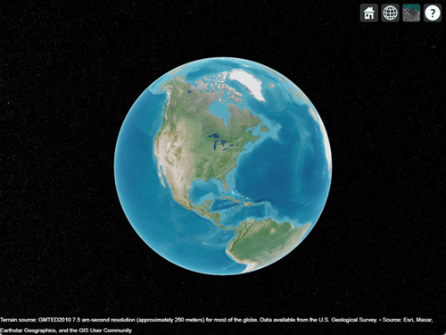
Query the CoordinateSystem property of the Site Viewer object. The result, "geographic", indicates that the Site Viewer represents the camera position using latitude, longitude, and ellipsoidal height values.
viewer.CoordinateSystem
ans =
"geographic"
Query the latitude, longitude, and ellipsoidal height of the camera. The latitude and longitude are in degrees, and the ellipsoidal height is in meters above the WGS84 reference ellipsoid.
[latOut,lonOut,heightOut] = campos(viewer)
latOut =
35.1576
lonOut =
-82.5000
heightOut =
1.7190e+07
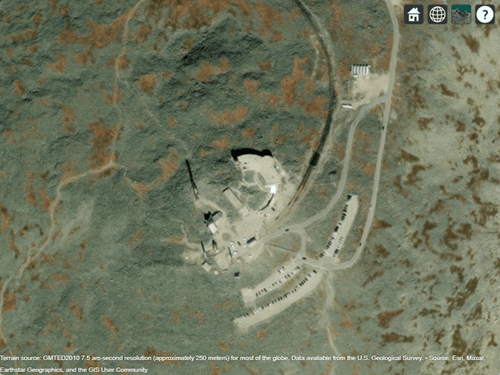
Specify the latitude and longitude of Mount Washington, and specify a height that is 2400 meters above the ellipsoid. Use these values to move the camera.
lat = 44.2706;
lon = -71.3033;
h = 2400;
campos(viewer,lat,lon,h)
Create a Site Viewer that displays a 3-D model from an STL file. The file models a small conference room with one table and four chairs.
viewer = siteviewer(SceneModel="conferenceroom.stl");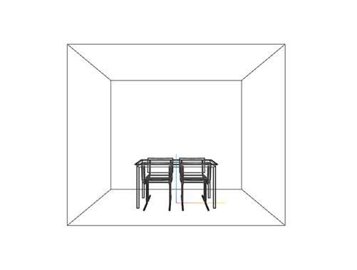
Query the CoordinateSystem property of the Site Viewer object. The result, "cartesian", indicates that the Site Viewer represents the camera position using xyz-coordinates.
viewer.CoordinateSystem
ans =
"cartesian"
Query the xyz-coordinates of the camera. The coordinates are in meters.
[xOut,yOut,zOut] = campos(viewer)
xOut =
0
yOut =
-6.0000
zOut =
1.2500
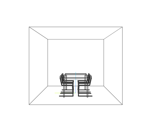
Specify new camera coordinates. Use these values to move the camera.
x = -6;
y = 0;
z = 1.5;
campos(viewer,x,y,z)
When you change the position of the camera, the pitch and heading angles remain the same. As a result, for this combination of xyz-coordinates, the conference room disappears from the view. Point the camera toward the conference room by changing the heading angle of the camera.
camheading(viewer,-90)
When you display data in a Site Viewer, the Site Viewer focuses on the data by moving the camera. To preserve the camera view, before you plot the data, query the camera position and camera angles. Then, after you plot the data, reset the camera position and camera angles.
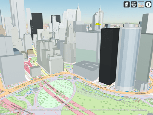
Create a Site Viewer that displays buildings in Manhattan. For more information about the OpenStreetMap® file, see [1]. Navigate to an area of interest by interacting with the Site Viewer.
viewer = siteviewer(Buildings="manhattan.osm",Basemap="openstreetmap");
Query the position of the camera and the heading, pitch, and roll angles of the camera. Assign each value to a variable.
[lat,lon,height] = campos(viewer);
heading = camheading(viewer);
pitch = campitch(viewer);
roll = camroll(viewer);
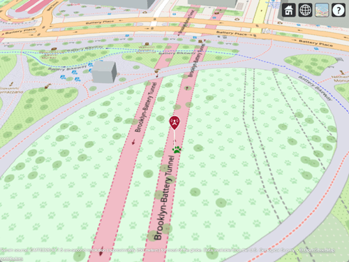
Create and display a transmitter site. Note that the camera zooms to the site.
tx = txsite(Latitude=40.704,Longitude=-74.0155);
show(tx)
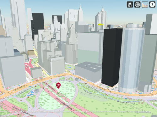
Reset the view using the stored camera position and camera angles.
campos(viewer,lat,lon,height)
camheading(viewer,heading)
campitch(viewer,pitch)
camroll(viewer,roll)
[1] The OpenStreetMap file is downloaded from https://www.openstreetmap.org, which provides access to crowd-sourced map data all over the world. The data is licensed under the Open Data Commons Open Database License (ODbL), https://opendatacommons.org/licenses/odbl/.
Input Arguments
Output Arguments
Version History
Introduced in R2025a
1 Alignment of boundaries and region labels are a presentation of the feature provided by the data vendors and do not imply endorsement by MathWorks®.